Interior designers, hospitality groups, offices, and multi-print projects. We help you specify cohesive print sets across cities, sizes, and framing options.
Designed with consistency, Centroute produces minimalist subway and metro map prints inspired by the clarity of classic transit diagrams. Cities across the world are designed within the same visual framework, making it easy to build coordinated walls using multiple prints.
Consistent global color system
Scales easily across multiple walls
Museum quality printing
Framed and ready to hang

A coordinated transit map system
Centroute prints follow a consistent graphic language across all cities and formats. Station prints, line prints, and full system maps share the same typography, color palette, and layout structure.
Red in Washington is red in London. Blue in Paris is blue in New York. Yellow in Tokyo is yellow in Berlin.
Station prints highlight individual stops. Line prints trace a single subway or metro route. System maps present the full network of a city.
This approach allows prints from different cities to pair naturally within a single wall or across multiple rooms.
Materials and print options
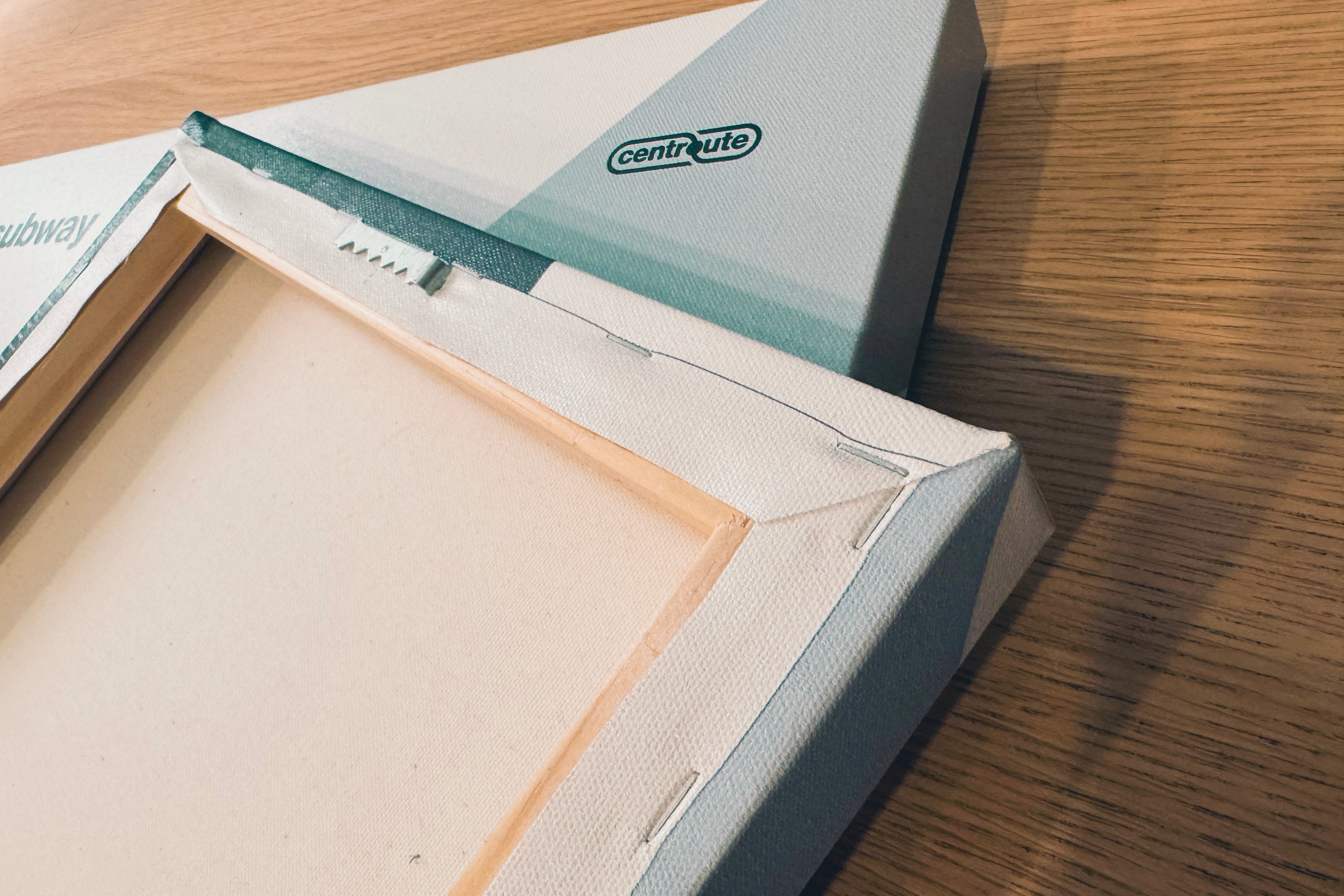
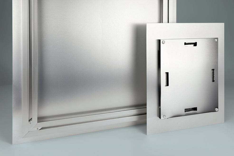
Centroute prints are produced using museum quality materials designed for clarity and longevity.
- Matte paper prints
- Framed prints assembled and ready to hang
- Canvas wrapped prints
- Metal sign formats
Archival inks and durable materials ensure each print maintains its color and detail over time.